de Velde
TIMBTRACK tree measuring device TPM Track'r
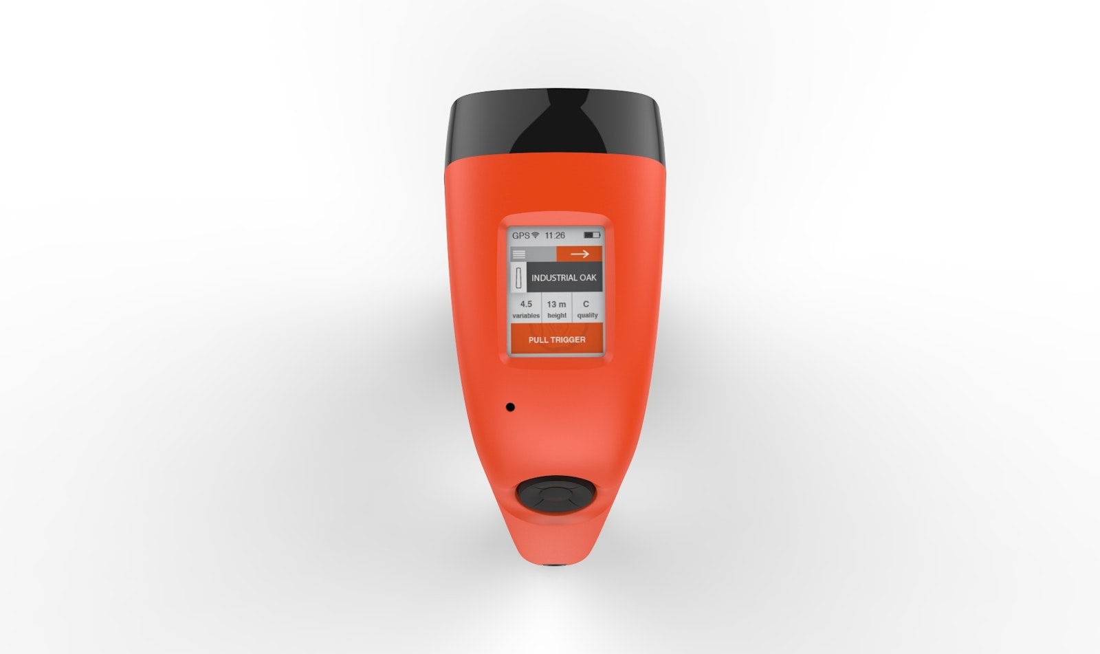
To be able to take accurate measurements from forested plots more quickly, more efficiently and more simply, and thus organise forestry-management more effectively, Maximaldesign was asked to develop a ‘ruggedised’ device which could record readings in situ then collate them and export them to the owner.
Once a particular species of tree has been entered, a more precise measurement can be recorded via GPS technology and submitted via geolocation. All the trees on a given plot are scanned in and at the end of the day the data gathered are uploaded to the computer. Previously, this was performed using ribbon and a laser measure separately, without knowing the exact location of tree in question. With the new method, measurements can be recorded much more quickly and more accurately, and the data gathered can be shared with plot owners, customers or potential buyers.
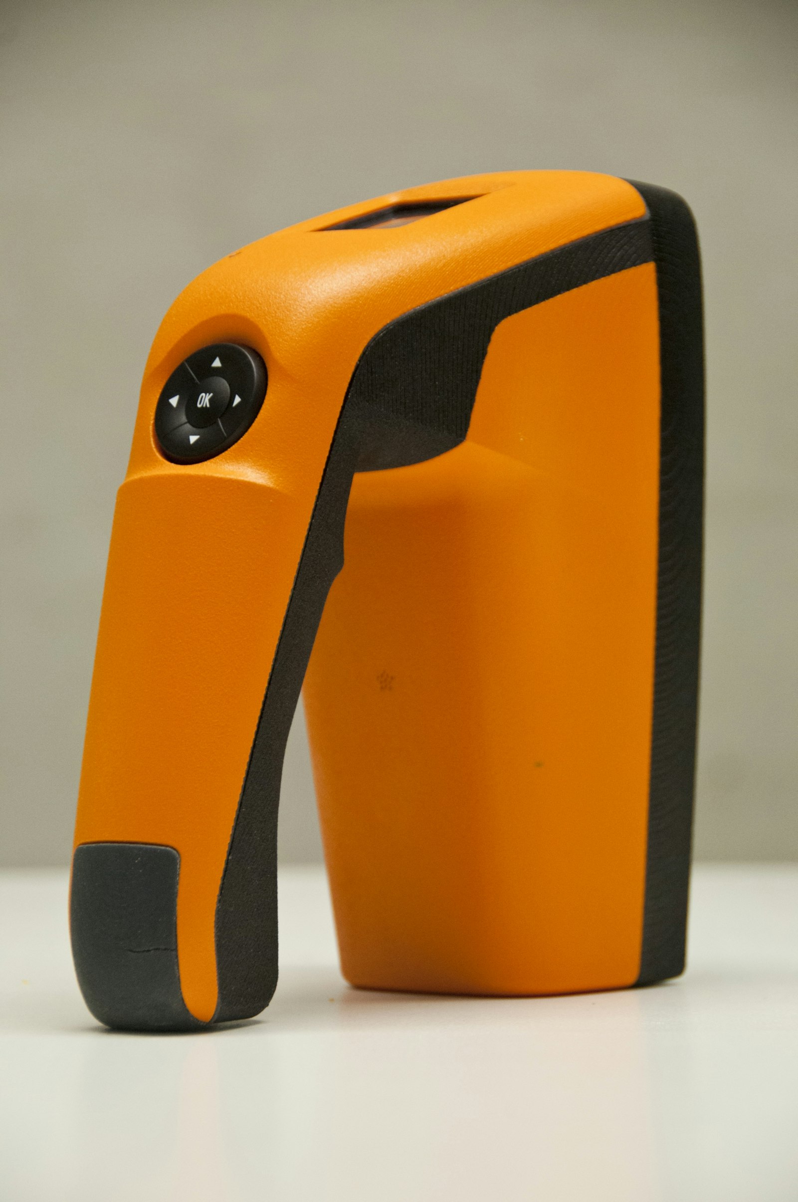
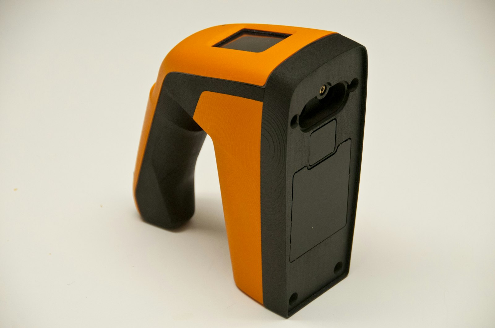
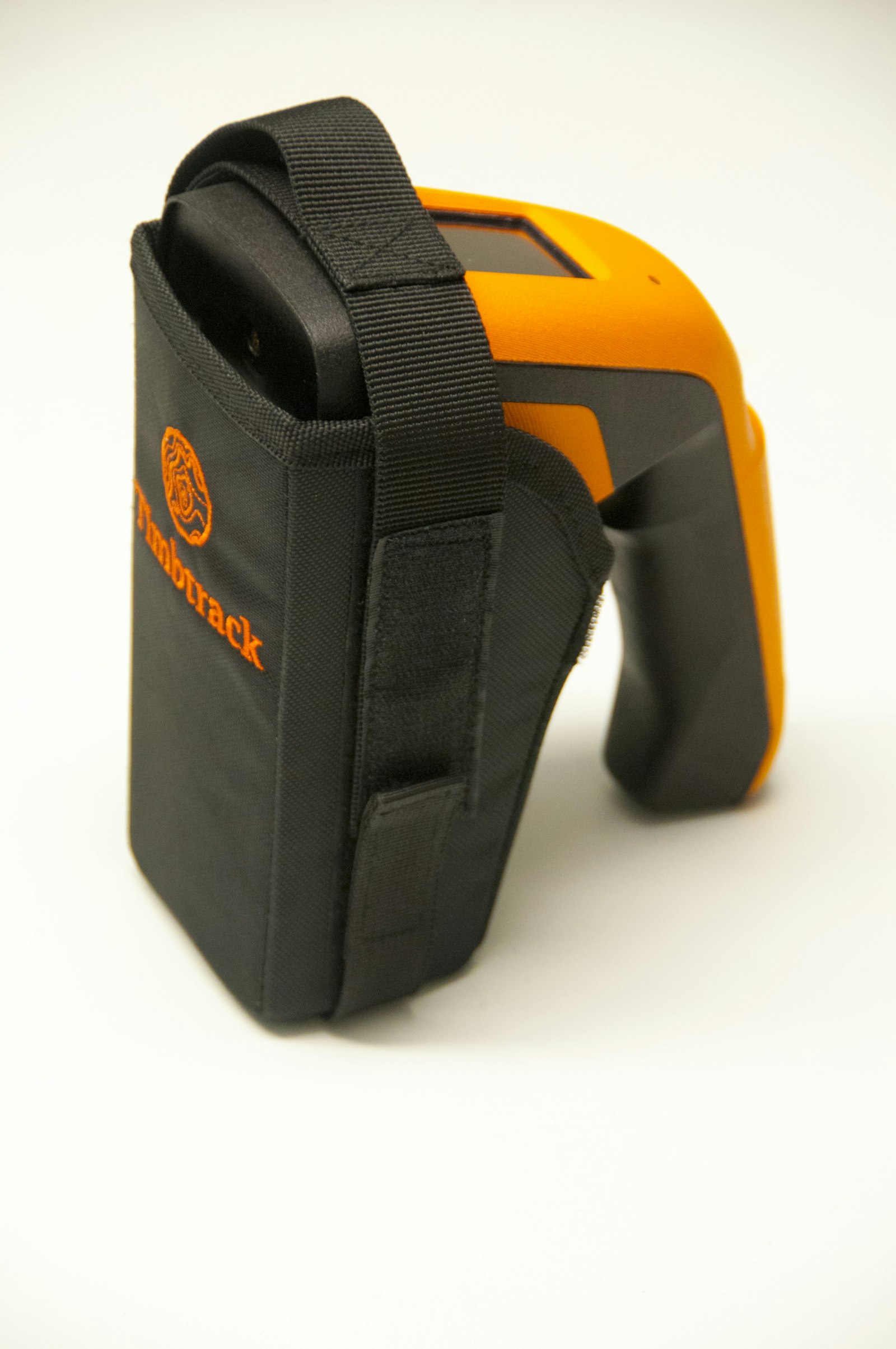
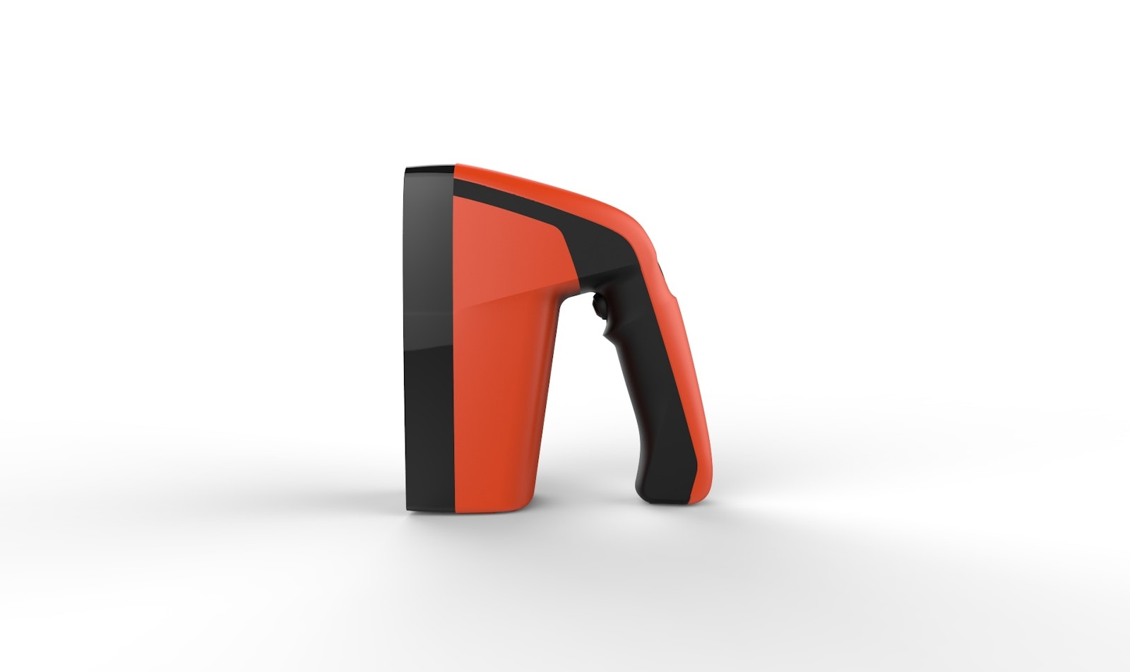
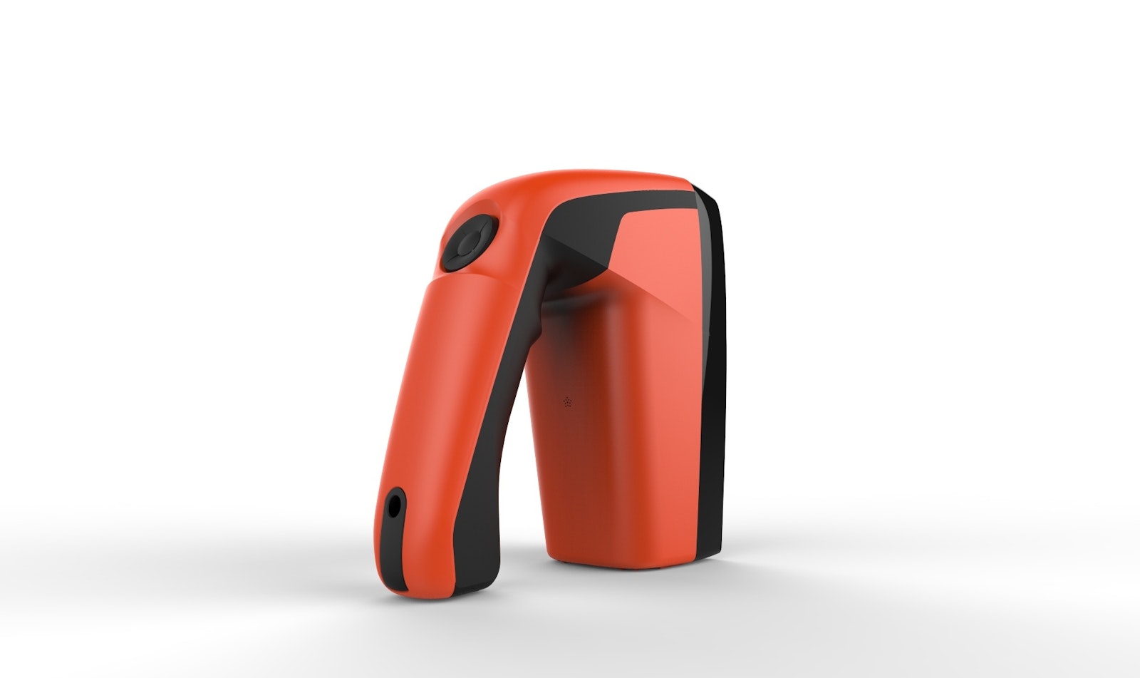
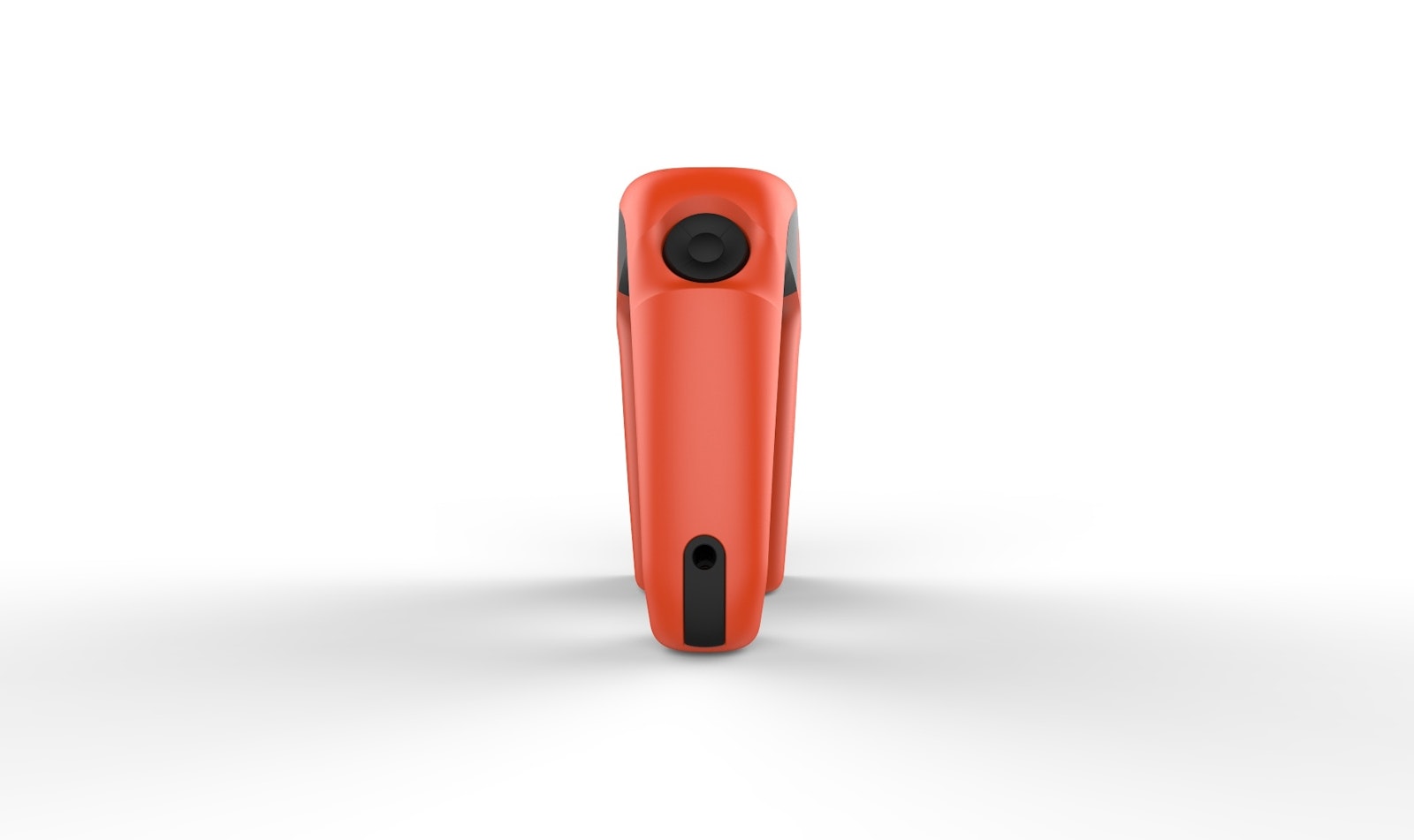
The device contains several state-of-the-art components and a solid-state memory. The plastic casing is watertight and impact-resistant, has an ergonomically designed handle and the weight is comfortably distributed. The handle is self-explanatory and considerable attention has been focussed on the ideal positions for the various human-interface components (screen, direction button, pull handle). Its form and colour give the device a professional look. It also incorporates a carrying bag enabling the user to work hands-free as far as possible, while providing extra protection for the device itself.
This assignment is a perfect example of efficient, integrated product development. Maximaldesign was also keen to design detailed, bright and simple templates for the on-screen graphics and accompanying packaging.
The device also lends itself to use in other fields to improve working processes and boost efficiency.

